| HideElements | ||||||||||||||||||||||||||||
|---|---|---|---|---|---|---|---|---|---|---|---|---|---|---|---|---|---|---|---|---|---|---|---|---|---|---|---|---|
|
| Background Color | ||||||||||||
|---|---|---|---|---|---|---|---|---|---|---|---|---|
| ||||||||||||
|
Print out a map from WebEOC's MapTac plugin to have something tangible that you can write on or distribute.
To access and print a map
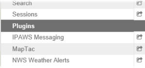
In the Plugins section of the control panel menu, click MapTac.
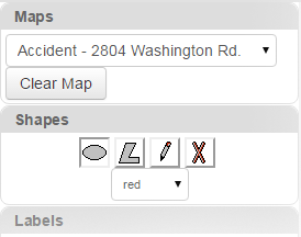
From MapTac, on the left side panel, click the Maps tab.
Click the Maps drop-down list and select the applicable map/image.
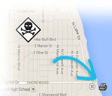
Note: The map or image is re-sized automatically any time you change the size of your window. If you do not want the image to be re-sized, contact your WebEOC administrator.In the lower right corner of the map, click the print icon.
| Panel | ||||||||
|---|---|---|---|---|---|---|---|---|
| ||||||||